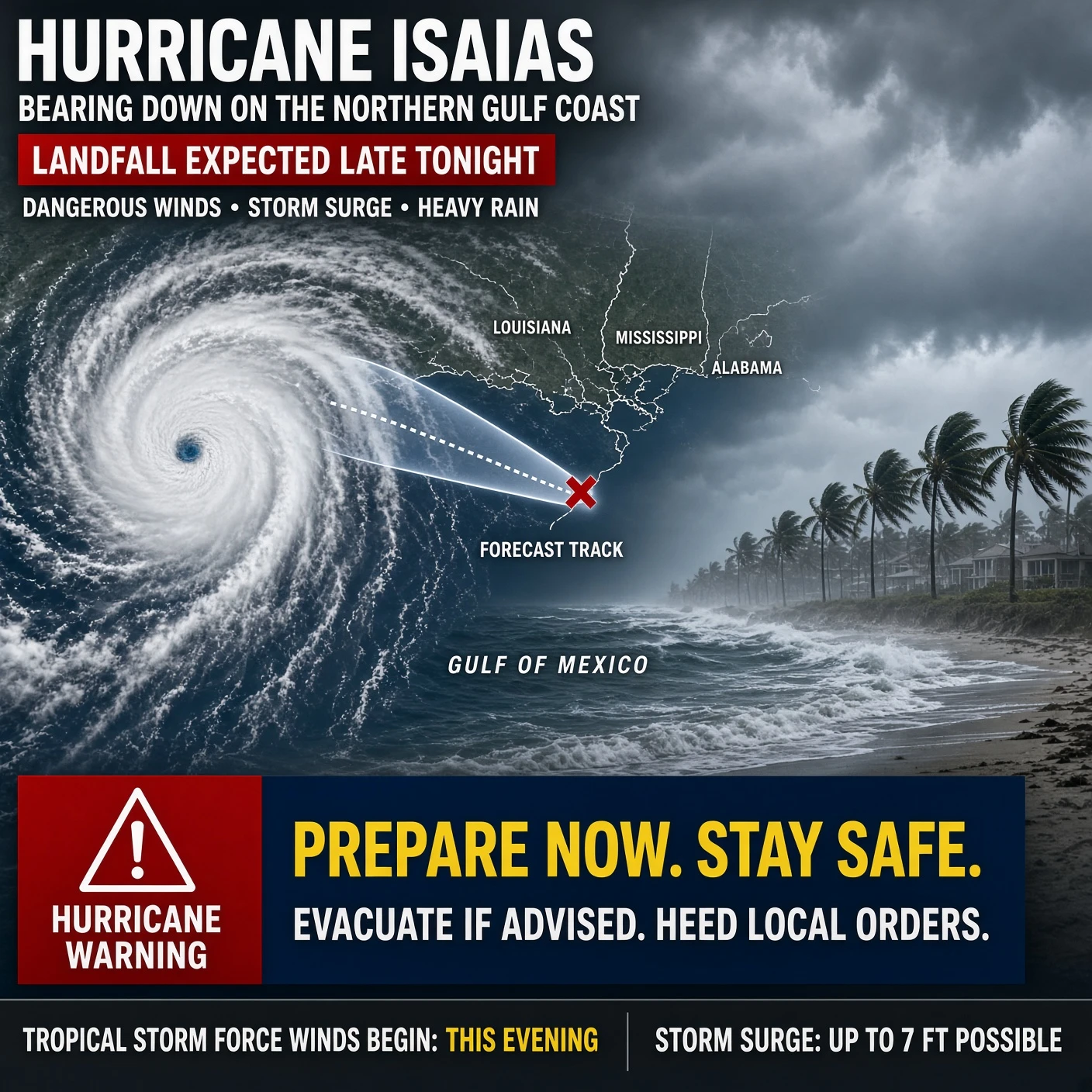
Hurricane Isaias is bearing down on the northern Gulf Coast with the kind of timetable that leaves no room for last-minute heroics. At 4 a.m. Central on Friday the storm stood about two hundred miles south-southeast of the mouth of the Mississippi, a Category 2 with sustained winds of 110 mph, and the National Hurricane Center expected it to reach major-hurricane strength before shear takes a little off the top. Landfall is forecast tonight or early Saturday inside the hurricane warning from Ocean Springs, Mississippi, to the Bay–Gulf County line in Florida, most likely near the Alabama coast or the western Panhandle. The center will not be the whole story. The wind field is widening as the storm runs into an upper trough, so hurricane-force gusts and a long stretch of tropical-storm wind will reach well east and west of wherever the eye comes ashore.
The water is the first and worst threat. A life-threatening storm surge is expected from the mouth of the Mississippi to the Suwannee River, with peak heights of five to seven feet above ground from Dauphin Island to Indian Pass if the surge arrives on the tide, and four to six feet farther east toward the Steinhatchee. That water will not politely stop at the dune line. It will push into bays, inlets, and low streets with large waves on top of it, which is why the warning is an order to leave, not an invitation to film the surf. Behind the surge comes the rain: four to eight inches from southeastern Louisiana through the Florida Big Bend, with local amounts near fifteen inches in the Panhandle and Big Bend bands, enough for flash flooding in towns and a slower, meaner rise on the rivers once the storm has moved on.
What does not die at the beach will travel inland. After landfall Isaias is forecast to weaken quickly over southern Alabama, but gusty winds and heavy rain will spread across the Southeast through the weekend, with a tornado risk on the eastern side over Alabama, Florida, and Georgia. By Saturday afternoon the remnant should be a tropical storm or depression over the interior, still wet enough to flood creeks and urban drains from the Panhandle into Georgia and the southern Appalachians before it dissipates early next week. The civic lesson is the old one. The maps are clear, the warnings are posted, and the margin for delay closed this morning.
Additional ADNN Articles:
Tropical Storm Bertha Stalls, Floods Loom, AI Blues Prophesy Doom
Lala Unleashes Flooding Winds Leaving Hawaii Without Power Months
Violent Storms Batter Capital After White House Channel Four Post
Gulf Of America Sees Bigest Snow Storm In 130 Years

Hurricane Isaias nears Gulf landfall with surge, rain, and wind.
Hurricane Isaias nears Gulf landfall with surge, rain, and wind.

Oslo honors a jurist, ignores Iran’s broken bomb and farm murders.
Peace? Fake And Gay Knows No Bounds!

Strasbourg’s gilded Trump satire admits the man it meant to mock.
TDS Is Real And On Par With Any Psychosis Known To Mankind!

SpaceX buys low-band spectrum; Starlink threatens the wireless oligopoly.
Can You Hear Me Now?

Rubio on the Pnyx: America Rejects Servitude, Decline, and Communism
#WLY - The Basis For All That Is Great!

France’s Student Demands Belong to a Century Already Dead
La mort de la France!

Pike Wakes Confused; Slemmer Still Visits Her Sleeping Hours
I See Dead People. Death On This Day!

Living Cells Carry a 71-Terahertz Signal That Dies With Them
You Are Electromagnetism!!!

Three Years On, October 7 Still Indicts Allied Intelligence Failure
Planned Attack! Viewed In Realtime...Sacrifices Had To Be Made For MAGAZA!