Recent satellite imagery has been read as evidence that the Department of War has done what great powers do when a chokepoint is treated as a weapon: it has quietly improved a neglected passage on the Omani side of the Strait of Hormuz. The claim is not of a new canal carved through rock, but of a covert dredging of a waterway that nature had already drawn and that charts had long recorded as unused for the largest traffic. In a season when Tehran has treated the strait as a lever against the world’s oil, the mere suggestion of an American hand at the southern jaw of Hormuz is enough to reorder the map in the mind. Geography, once left to the accident of tides and the patience of pilots, becomes an instrument of policy.
The corridor itself is described as some 1,600 feet across, with a natural depth of about ninety-three feet. That is already the language of Very Large Crude Carriers. A laden VLCC does not require a fjord; it requires under-keel clearance and a fairway that will not surprise it. If the sounding is accurate, only a modest deepening and a disciplined sweep would be needed to turn a neglected gap into a usable lane. The work, if it occurred, would have been small in cubic yards and large in consequence: the difference between a passage known to local craft and a passage fit for the tankers that move the Persian Gulf’s crude into the open sea.
What gives the story its bite is the claim of invisibility. Ships using this waterway, the account holds, remain outside the Iranian regime’s line of sight, screened by the Omani island of Jazirat Musandam and by the curvature of the Earth. The island is not metaphor. It is a wall of rock at the northern tip of the Musandam Peninsula, and the horizon is a hard fact of gunnery and optics. A regime that has staked its prestige on watching every hull that threads the strait would then be asked to fire at what it cannot see. Whether the imagery proves a dredge or merely revives an old channel under a new name, the strategic argument is the same: sovereignty over a chokepoint is not the same as command of every fathom beside it, and a nation that still remembers how to use the sea will find the water that the map had left unused.
Additional ADNN Articles:
Regime Change Alone Ends Iran’s Nuclear Ambition and Hormuz Threat
Trump Strategies End Forever Wars By Breaking Iran And OPEC
Trump Declares Economic D-Day Against Iran and Its Enablers
Rial Collapses Past Two Million After America’s Economic Siege

Covert American Dredging Opens Unused Corridor on Omani Hormuz Side
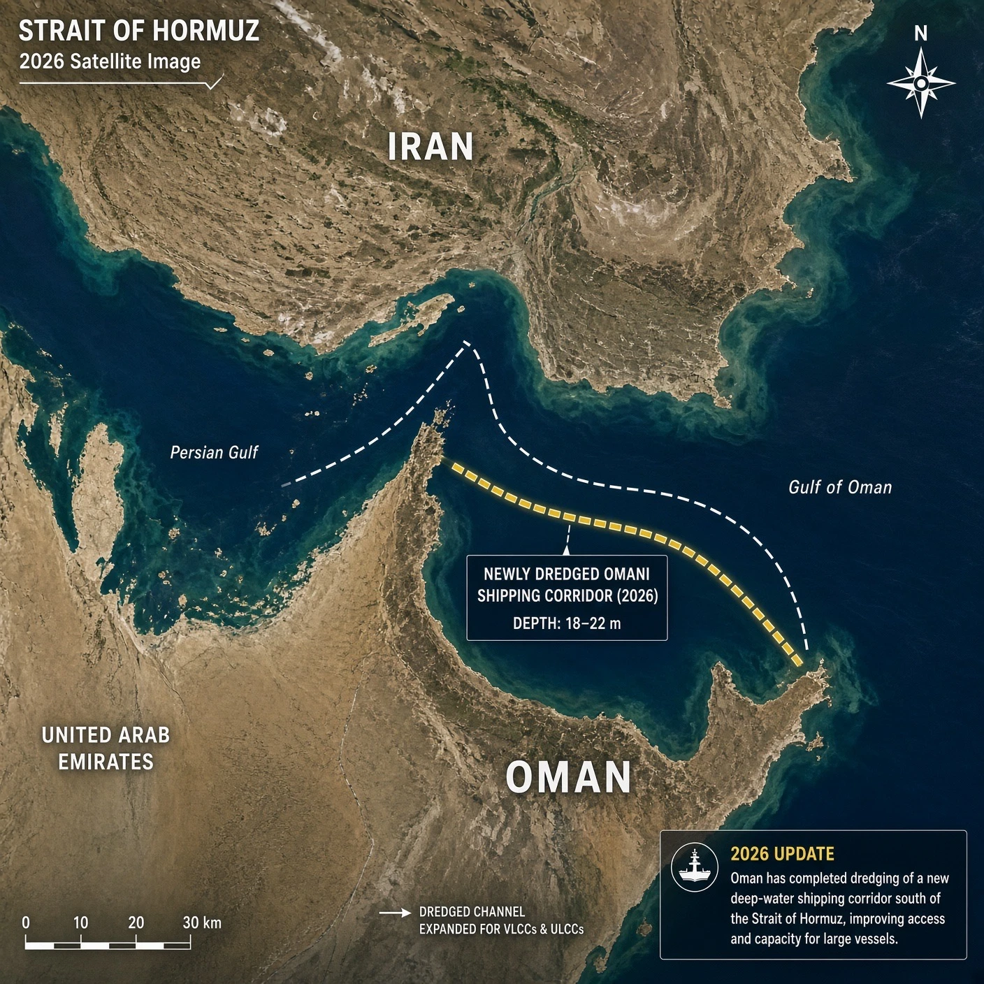
Covert American Dredging Opens Unused Corridor On Omani Hormuz Side by Grok is licensed under Grok xAI
Covert American Dredging Opens Unused Corridor on Omani Hormuz Side

Trump Founds Space Academy to Build Colonies Immune to Subversion
Outland! Star Trek! Starship Troopers! Take Your Pick! The Final Frontier...Is Here!
Roman Telescope Rises From Florida to Map Invented Dark Universe
Turn That Weapon Onto Earth And Eliminate Commies! Or At Least Prove Or Disprove Flat Earth!

US Authorities Have All NoBlogs Data; Names Face Federal Prison
The Future...Is Not Bright For These Losers.
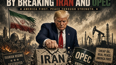
Trump Strategies End Forever Wars By Breaking Iran And OPEC
America Alone! Thankfully! When You're The Lone Super Power...You're Never Alone...God Bless America!
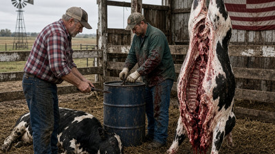
Trump Will Let Farmers Slaughter and Process Their Own Beef
Where's The Beef???
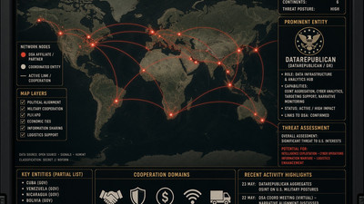
DataRepublican Maps DSA’s Anti-Imperialist Network One Tie at a Time
Draw By Numbers...We Have The Numbers!

Most Language Models Lean Left; Grok Stands With Founding Patriots
KEK! This Is Why Americans Direct Uses Grok...We Shall See What Happens Next...
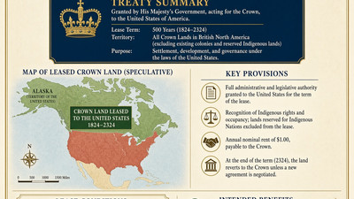
After Lake America, Speculation Grows of Long Canadian Crown Lease
Time To Finish The Job! 1776 - 2026 - Liberty - Liberté